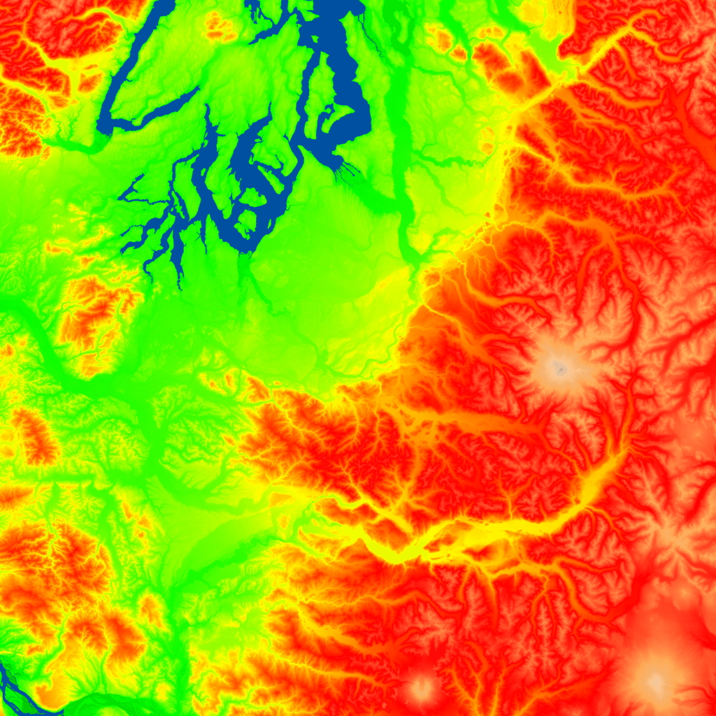
This test map is based on data for the Puget Sound region of Washington state. It has has both flat regions near the sound as well as mountainous regions near Mt. Ranier. The map is very large and consists of 64 2048x2048 cells. The total data size of the map is almost 1.5Gb. The colormap is a based on altitude; blue for water, shades of green for lower elevations, yellow for intermediate elevation, and red for high altitude. Here is a reduced version of the colormap

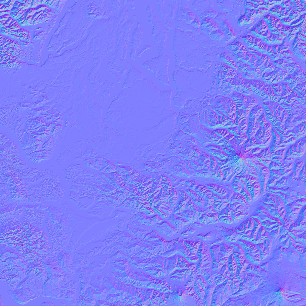
and normal map

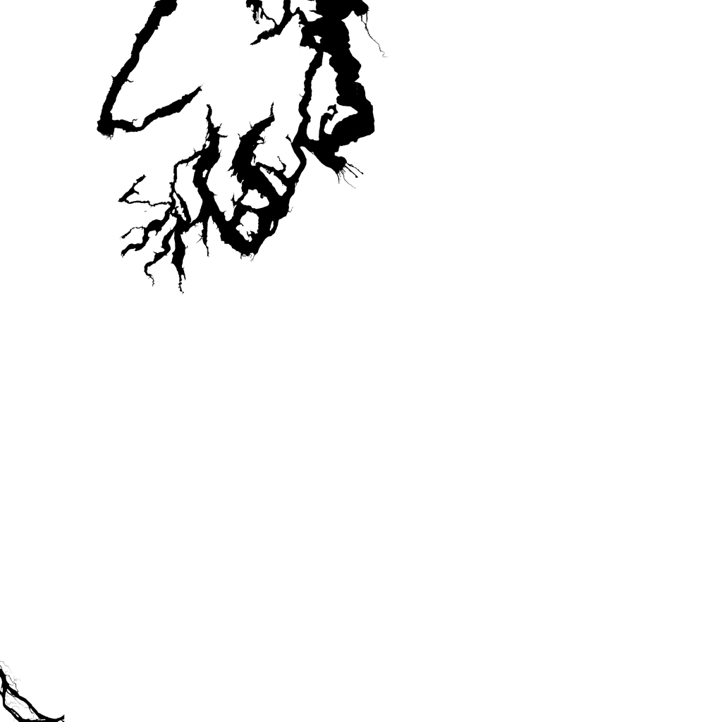
The map also has a water mask.

The map is available here as a gzipped tar file [1,204,118,626 bytes]. This map is also available on the CSIL Macs with the path /data/puget-sound.
Posted original map